
Information
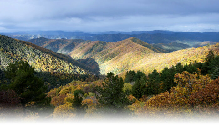
You leave Meyrueis, a market town built at the confluence of three rivers, to immerse yourself in a beech forest with some rather crooked trees that alternates with upland grasslands. As well as the vista from the summit, this hike also offers panoramic views onto the Causses plateaux and the Brèze and Béthuzon valleys.
Practical Advice
Make sure your equipment is appropriate for the day’s weather conditions. Remember that the weather changes quickly in the mountains. Take enough water, wear sturdy shoes and put on a hat. Please close all gates and barriers behind you.Caution: patous (livestock guard dogs)! Seek advice on how to behave near these dogs from tourist offices and National Park information centres.
Technical information
Medium
White and red GR
39,6393 km
 1316 m
 1316 m
 717 m
717 m
 1559 m
Start
48150 - MEYRUEIS
Making contact
+33 4 66 45 01 14